112th and Avenue E, Chicago 250 acres
Facilities: Picnic Area, Walking Paths Through Wetlands and Swamp Forest
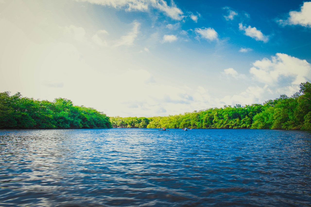
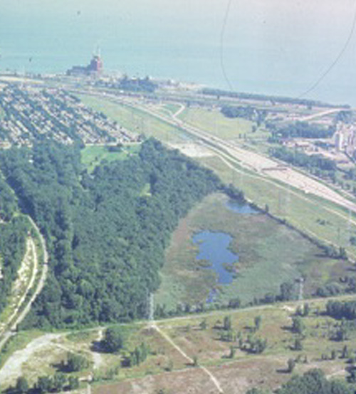
Part of the Cook County Forest Preserve District, Eggers Grove, also known as Eggers Woods, comprises about 250 acres, much of which is made up of slag fill, especially south of 118th Street. There are sections of oak savannah, some 20 acres of wetland, and pools of water. This is a remnant sand spit typical of what this area was like before the sand hills were mined for Chicago shoreline fill under the Burnham Plan. Now it is one of the last habitats of this type.
Once connected to Wolf Lake with vast wetlands that provided substantial spawning habitat, Eggers Grove is currently isolated from Wolf Lake by slag fill and includes an area where cyanide has been dumped. One section of Eggers Grove has been classified as a swamp forest. Beyond your view, near the state line, is a fill area where drainage could be reverted to its historical direction south and east toward Wolf Lake. This section lies just west and north of the next area we'll view: the proposed organized youth campground.
Besides oak, you'll find American elm and a variety of willow trees. Note how the Burnham Greenway forms the western boundary of the watershed at this point. Marsh-nesting birds and migrant songbirds are among Eggers Grove’s 170 bird species.